Spatial data to assess forest conditions through historical analysis, stand inventory, soil types, changing weather patterns and land-use practices.

Detailed mapping.
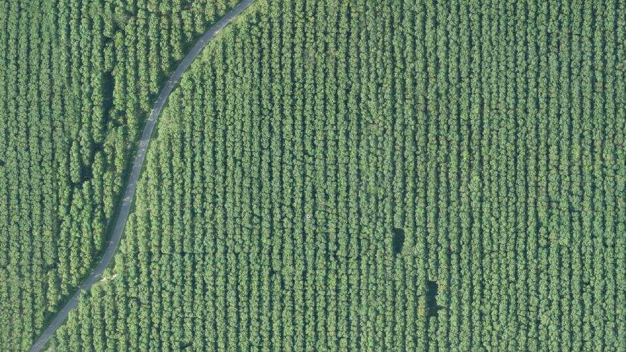
Map your forests using thematic maps, tree counting, flooded area identification, planting gaps analysis, HGU identification, encroachment detection, object-based digital classification, land cover maps, road maps and 3D (colour-shaded terrain, slope) maps.


Detect and monitor human activities.
Monitor forests to detect encroachment, deforestation activities and illegal logging. Be aware of what is happening in the area to ensure the forests are prospering using GIS data and analysis.


Wildfire Management.
Act fast by detecting and monitoring forest fires. Reduce health and environmental impacts caused my wildfires and haze through accurate geospatial solutions.


Health and Conservation.
Assess vegetation and soil health to keep forests thriving. Keep a watchful eye to ensure healthy and productive forests for generations to come. Advanced sensors and precision algorithms can assist conservation efforts through health monitoring, land condition assessments, risk assessments, human activity monitoring and wildlife detection and monitoring.